Dupont State Recreational Forest
Hooker Falls

One of the most well-known and accessible waterfalls in DuPont. The falls is at the site of a former grist mill, where Little River drops off a 13-foot ledge into Cascade Lake.
GPS:Hooker Falls, Little River, NC 28768
Triple Falls

From the Hooker Falls parking lot cross the Little River Bridge to the trail running parallel to the river. The trail bends to the right and ascends 1000 feet up a steep slope. Triple Falls is on the left.
GPS:Triple Falls, Little River, NC 28739
High Falls

From Triple Falls, High Falls is about a 15 minute walk upstream. Continue up the same trail until it intersects with High Falls Trail. Turn left and walk about 2000 feet parallel to the river. Go right at the next intersection (still High Falls Trail) and continue up the slope to High Falls. There is a trail at the bottom left of the falls.
GPS:High Falls, Little River, NC 28739
Bridal Veil Falls

Accessible from Hooker Falls parking lot, via High Falls or Reasonover Rd at the Fawn Lake parking lot. From High Falls shelter, continue to Covered Bridge Trail and turn left, then left on Buck Forest Rd Trail. Cross bridge. Turn right on Conservation Rd Trail. Walk 1.5 miles. Turn right on Bridal Veil Falls Trail, which ends near the falls in about ½ mile. From Reasonover Rd, park in the Fawn Lake lot. Walk Conservation Rd Trail to the airport runway. Continue on Conservation Rd Trail parallel to runway as it bears right toward Lake Julia. Pass barn on left. Take Bridal Veil Falls Trail to the falls. 4-mile round trip.
GPS:Bridal Veil Falls, Little River, NC 28718
Grassy Creek Falls

From the Buck Forest parking on Sky Valley Road, walk up the road to the covered bridge and stay on Buck Forest Road for about .5 miles, passing the right turn for Conservation Rd. Cross Grassy Creek and turn left on Lake Imaging Trail (road). Continue for short distance to Grassy Creek Falls Trail on the left and follow it to the top of the falls.
GPS:Grassy Creek Falls, Grassy Creek, NC 28777
Pisgah National Forest
Sliding Rock Falls

Sliding Rock cascades over a broad, smooth rock into a natural pool, making it one of Mother Nature’s most exciting thrill rides. Minimal usage fee.
GPS: Sliding Rock, Pisgah Forest, Brevard, NC 28768
Looking Glass Falls

One of the most photographed waterfalls in the United States. Parking is provided on the right side of the road. Steps lead to an observation deck at the bottom of the falls.
GPS:Looking Glass Falls, US-276, Brevard, NC 28712
Moore Cove Falls

50-foot cascade over a ledge. The hike is approximately 1 mile round trip.
GPS:Moore Cove Falls Trail, US-276, Brevard, NC 28712
Cove Creek Falls

GPS:Cove Creek Falls, Brevard, NC 28712
Highway 215
Courthouse Falls

GPS: Trail-head for Courthouse Falls, National Forest Road, Balsam Grove, Gloucester, NC 28708
French Broad & Mill Shoals Falls

Take US 64 west out of Brevard 8.9 miles. Turn right on NC 215. Living Waters Ministry is located on the left in about 7.8 miles. Just before the Ministry, there is a pulloff on the left beside a pile of rocks. Pull off the road and look for a path between the rocks that goes down the bank. Coming to a bigger path, go right work your way to the river to a viewing area among the boulders. French Broad Falls is on the main river; Mill Shoals is to the right next to the mill. Be respectful, as this is private property.
Bird Rock Falls

From French Broad Falls and Mill Shoals, take the path leading downstream about .5 miles. You will pass many small falls and shoals on the way, so take the paths that lead down to the river as often as possible. Near the bottom of the trail, duck through the rhododendron and laurel to get back to the river. You will see Bird Rock Falls (also known as Cathedral Falls) to your right. The flat area in front of the falls is a great place to sit and rest. Be careful as the rocks are slippery. This is private property. Living Waters Ministry maintains the trail and allows public access.
Toxaway
Toxaway Falls

From the intersection of Highways NC 215 and US 64, travel west on 64. Cross over the top of this 123 foot high waterfall just below Toxaway Dam.
Turtleback, Rainbow and Stairway Falls

A strenuous 1.5-mile hike. Travel west on US Hwy 64, past Toxaway Falls. Turn left on Whitewater Rd (NC 281 South) and go about ½ mile. Turn left at Gorges State Park. Follow the road to Grassy Ridge Trailhead parking.
Whitewater Falls

There are many more!
The Easy Way
If time or physical ability will not allow for a self-guided waterfall adventure, consider one of these local outfitters for a guided tour. You may even get to see waterfalls not open to the public.
Eastatoe Trail Tours: (828) 482-9060
Leap Frog Tours: (828) 507-1421
Lydia Odell Tours: (828) 553-5628
Miller’s Land of Waterfalls Tours: (828) 884-8982
Pisgah Field School: (828) 884-3443
Pura Vida Adventures: (772) 579-0005
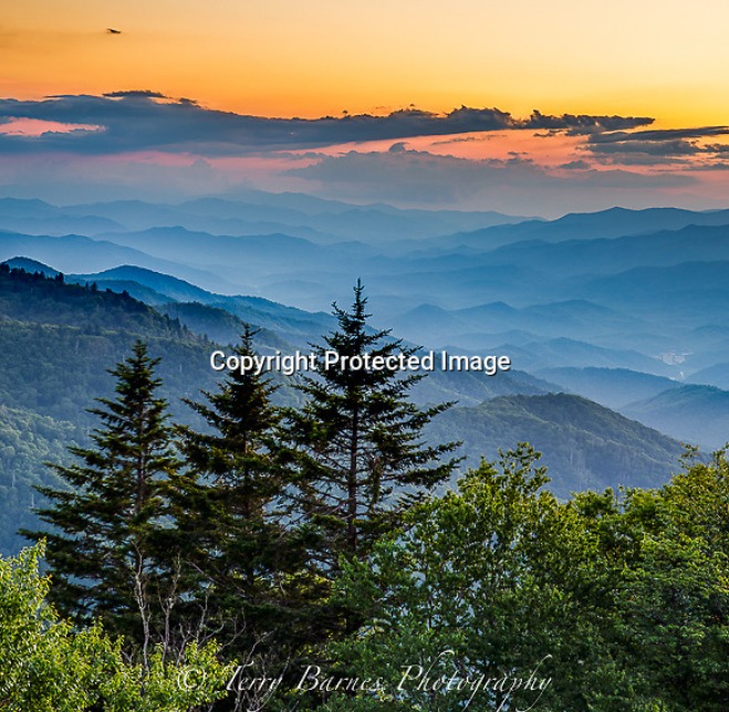
When you get a chance check out our friend Terry Barnes! He captures some of Western North Carolinas most spectacular views, seasons and wildlife. Below is a link to all of his amazing photography and more!!
Terry Barnes Fine Art Photography (terrybarnesphotography.com)